As the potential for a snow squall approaches the D.C. area, we’re taking a look at what exactly it is and how it could impact area traffic.
As the potential for a snow squall approaches the D.C. area, we’re taking a look at what exactly it is and how it could impact area traffic.
On Sunday, snow squalls are possible over the northern suburbs until early afternoon, with the “highest threat” along and north of I-70, according to WTOP meteorologist Mike Stinneford.
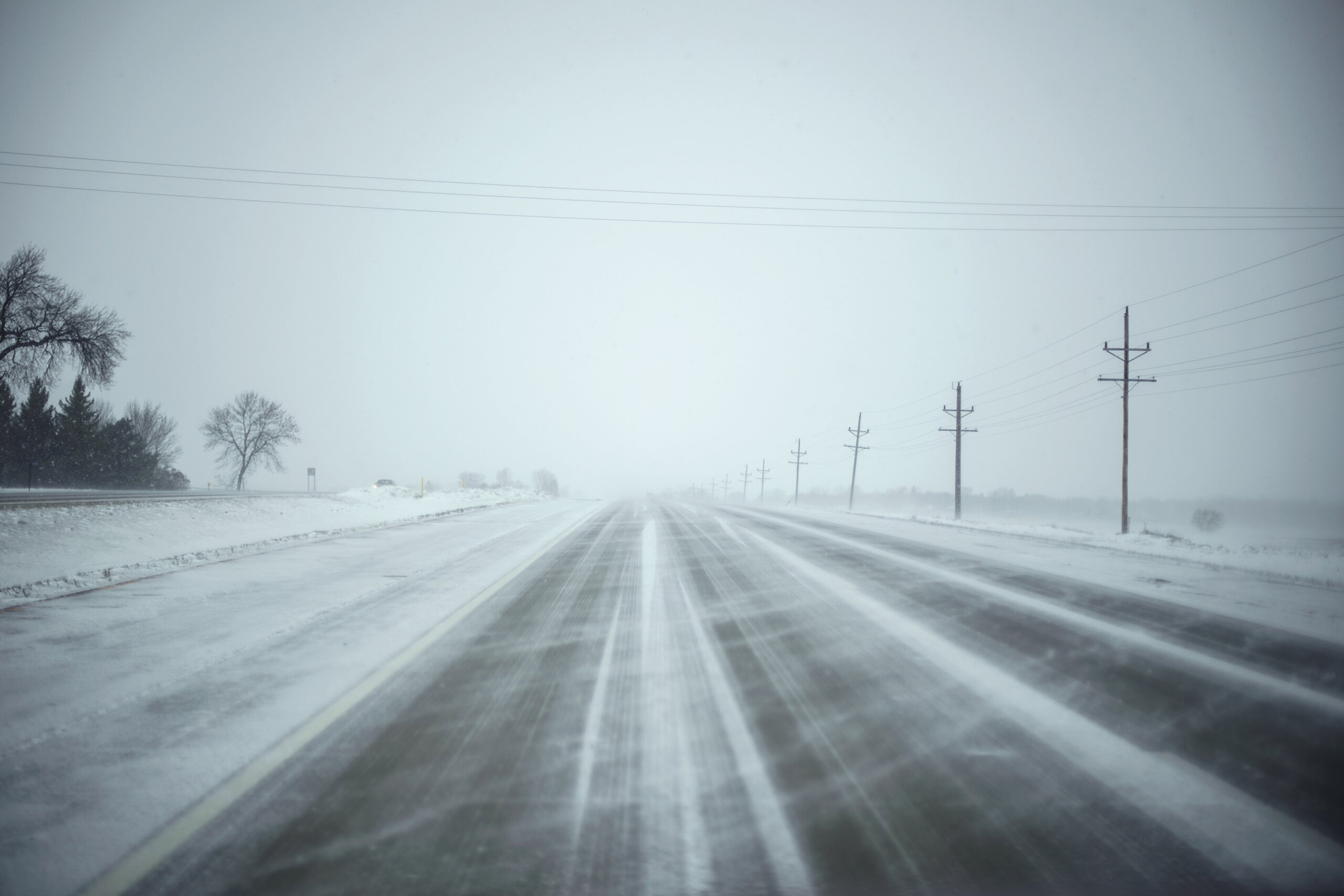
These snow squalls come fast and without much warning, so WTOP’s Dave Dildine says that means drivers should be on alert.
“Snow squalls approach suddenly and with less advance notice compared to traditional snowstorms. These brief bursts of heavy snow are notorious for contributing to multivehicle crashes and other traffic havoc,” Dildine said.
These sudden storms can cause sudden reduced visibility and flash freezing on roads.
He said that the effect of these squalls on transportation was so significant that the National Weather Service began issuing Snow Squall Warnings in 2018.
“They’re localized and short-term warnings, much like Severe Thunderstorm and Tornado warnings, and are meant to quickly get drivers off the roads until the threat passes,” Dildine said.
“Usually, the heavy burst of graupel and snow don’t last longer than 30 minutes, much like a line of summer thunderstorms.”
If a snow squall warning is issued for an area you are in and you are not close to where you are headed, he says to “pull off the road into a parking lot or rest area until the band of snow passes.”
The impact of snow squalls can be severe. Two years ago, a snow squall caused an 80 vehicle pileup on Interstate 81 in Pennsylvania and about 10 years ago, a snow squall led to a nearly 50 vehicle, chain-reaction crash on I-81 near Martinsburg, West Virginia.
Forecast
WIND ADVISORY 10 AM TO 5 PM … WINDS MAY GUST UP TO 45 MPH
SUNDAY: Chance of snow shower/squalls, possibly mixed with rain, until early afternoon. Brief heavy snow may coat area roadways, mainly over the northern suburbs. Partial clearing and windy in the afternoon. Highs in the 30s north low to mid-40s south.
SUNDAY NIGHT: Becoming cloudy and colder with diminishing winds. Lows 20 to 25.
MONDAY: Cloudy and cold. A chance of light snow or flurries, Highs in the low to mid-30s.
TUESDAY: A chance of light snow. Highs in the lower 30s.
WEDNESDAY: Partly sunny and cold. Highs upper 20s to lower 30s.
THURSDAY: Partly cloudy and continued cold. Highs in the mid- to upper 30s
Get breaking news and daily headlines delivered to your email inbox by signing up here.
© 2024 WTOP. All Rights Reserved. This website is not intended for users located within the European Economic Area.

Gregory Daniels is your guide to the latest trends, viral sensations, and internet phenomena. With a finger on the pulse of digital culture, he explores what’s trending across social media and pop culture. Gregory enjoys staying ahead of the curve and sharing emerging trends with his readers.