A winter weather advisory is in effect for Sunday and Sunday night for a large part of northwest and west-central Lower Michigan.
The winter weather advisory stretches from Grand Rapids to Cadillac, Traverse City and Mackinaw City.
The winter weather advisory starts around 1 a.m. Sunday and continues for the southern half of the advisory area until 7 a.m. Monday. The northern area including the Traverse City area has the winter weather advisory until 7 p.m. Sunday.
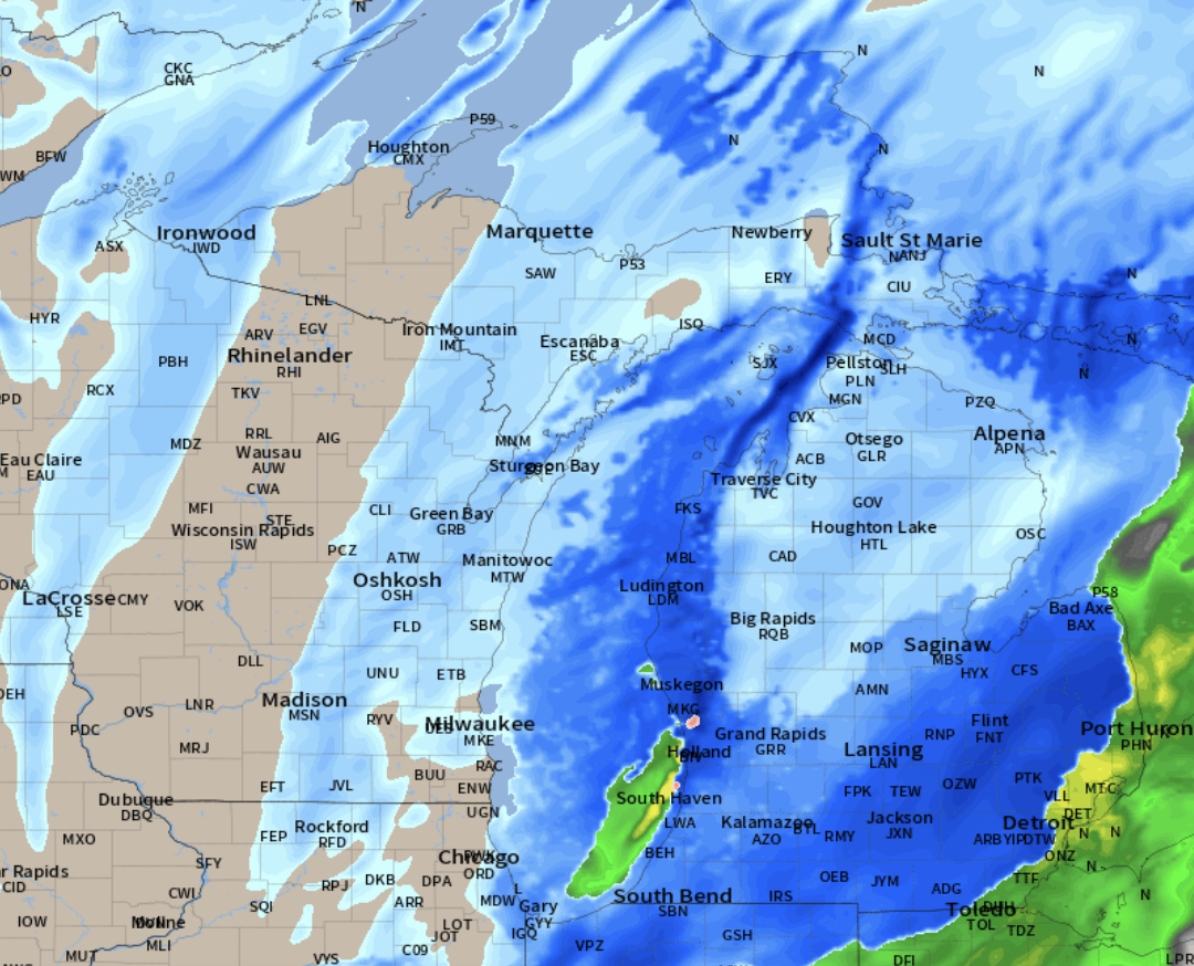
Below is the snowfall forecast through Sunday evening. The heaviest snow should be three to six inches from Leelanau County to Benzie County to the Manistee and Ludington areas. Surrounding the heaviest snow area will be a two to four inch snow amount in the winter weather advisory area.
The snow starts overnight tonight over northwest Lower Michigan and then shifts southeast Sunday morning.
If you are going to be driving through the western third of Lower Michigan Sunday be ready for the first widespread covering of roads with snow.
The widespread Sunday snow will taper off and turn to scattered lake-effect snow in the typical snowbelts of northwest Lower Michigan Sunday night and Monday.

Elaine Hadley is a dedicated journalist covering the ever-evolving landscape of U.S. news. With a keen interest in politics and a commitment to uncovering the truth, she provides insightful commentary and in-depth analysis on domestic issues. When not reporting, Elaine enjoys exploring the diverse cultures and landscapes of the United States.