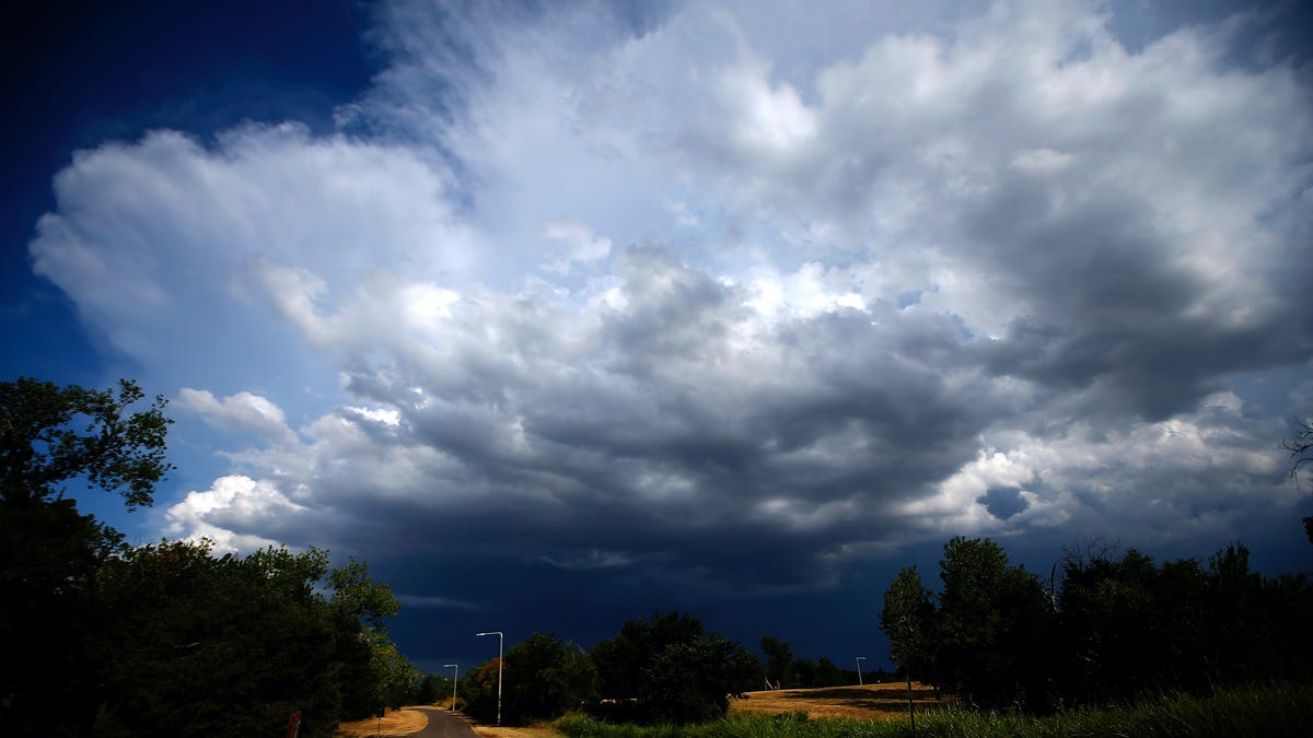
“Excessive runoff may result in flooding of rivers, creeks, streams and other low-lying and flood-prone locations,” the National Weather Service wrote. “Creeks and streams may rise out of their banks. Flooding may occur in poor drainage and urban areas.”
Eastern North Carolina and Southeast Virginia could see another 1 to 2 inches on top of 1.5 to 2.5 inches that have already fallen, while 1.5 to 3.5 inches could drench the zone from eastern Massachusetts to eastern Maine.
The heavy rain is predicted to remain east of Baltimore, where the cleanup from the collapse of the Francis Scott Key Bridge is ongoing. But blustery winds in the storm’s wake, which could gust up to 20 mph on Thursday and 40 mph on Friday, could complicate efforts.
The lack of rain in Baltimore was welcome news for the Orioles home opener against the Los Angeles Angels on Thursday, set for 3:05 p.m. But rainy weather in Philadelphia and New York forced Major League Baseball to postpone home openers for the Phillies and Mets until Friday.
How much rain has already fallen
As of noon Eastern time Thursday, radar showed rain lining the East Coast from near the Myrtle Beach, S.C., to northern Maine. Upward of an inch had fallen on Long Island, and much of east central Massachusetts had seen a half-inch to an inch.
Central Park in New York City had picked up 0.48 inches, and Philadelphia 0.41 inches. Baltimore and Washington had seen about an inch of rain, but most of it fell Wednesday and had ended by Thursday morning.
The heaviest totals so far were concentrated over the Delmarva Peninsula, Southeast Virginia and eastern North Carolina, where about 1.5 to 2.5 inches had fallen.
In the eastern Mid-Atlantic — from eastern North Carolina through the Delmarva Peninsula — rain is expected to persist until Thursday evening. But in New England, the rain could last well into Friday. In interior and northern Maine, the rain will probably transition to snow Friday before ending Saturday morning.
The precipitation is a result of a strung-out cold front draped along the Eastern Seaboard. Waves of low pressure are riding along the front, enhancing the rainfall.
On Thursday afternoon, a wave of low pressure east of Cape Hatteras, N.C., will become dominant as it becomes better-organized. Then it will intensify as it tracks northward just off the East Coast, drawing energy from a disturbance in the jet stream and passing over the Gulf Stream.
Rainfall will increase in coverage and intensity in eastern New England on Thursday night, with the back edge of the rain shield slipping east of New York City by midnight.
Into Friday, downpours will concentrate along the coastline from Cape Cod to Downeast Maine. That area will see an additional 1 to 1.5 inches of rainfall, which could cause flooding in spots, considering how saturated the ground already is. Many places in eastern New England have seen rainfall totals 6 to 10 inches above average over the past three months.
Heavy rains drenched the Northeast as recently as last weekend. Boston received 2.28 inches of rain Saturday, its heaviest calendar-day total since July 29.

Elaine Hadley is a dedicated journalist covering the ever-evolving landscape of U.S. news. With a keen interest in politics and a commitment to uncovering the truth, she provides insightful commentary and in-depth analysis on domestic issues. When not reporting, Elaine enjoys exploring the diverse cultures and landscapes of the United States.