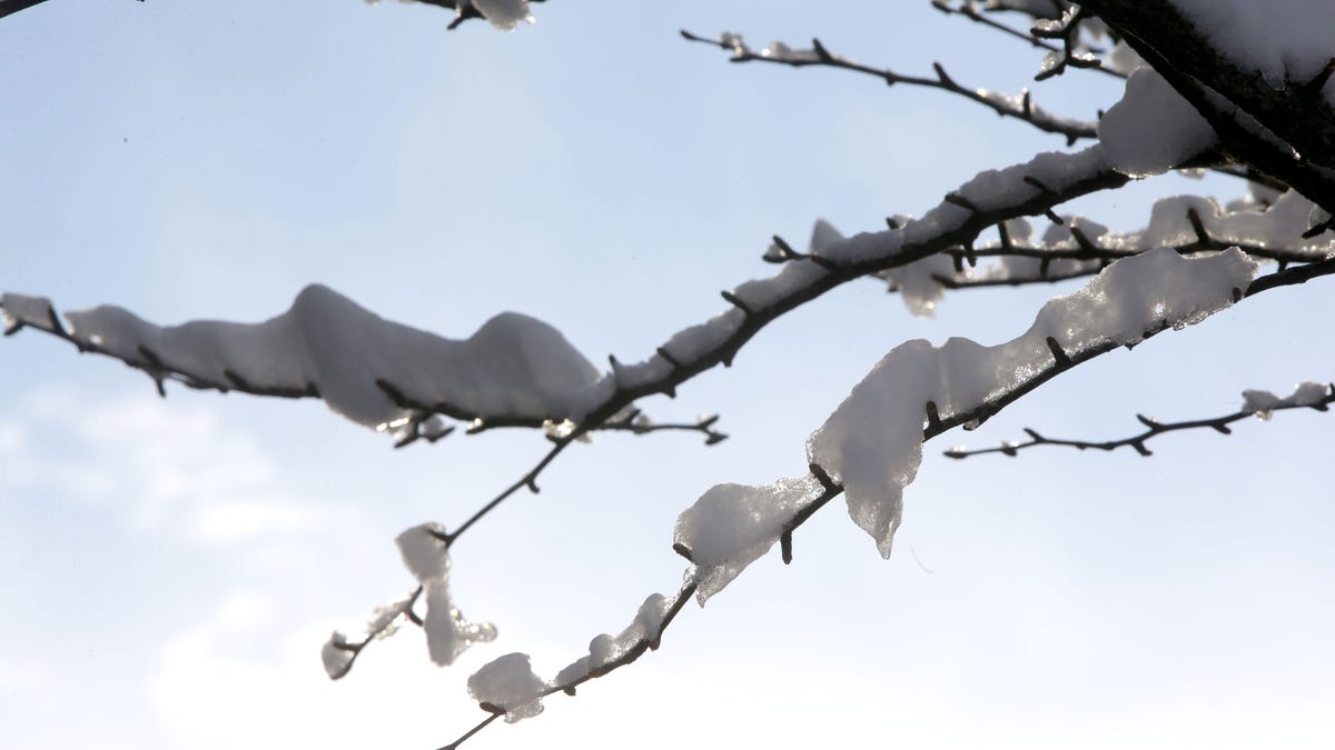
Maybe you convinced yourself that this El Niño winter was going to be a mild season with fewer ice scrapers and snow shovels in store for 2024.
If so, the events of the past few days – and this weekend’s forecast – have shaken you from your slumber by now.
Meteorologists say much of the country is in store for a frigid – and potentially dangerous – three-day weekend, as a powerful winter storm is set to bring heavy snow from the Great Lakes to the Northeast with another system blanketing an area from the Cascades through the Central Rockies.
What is the polar vortex? In-depth look at how it can affect winter weather in the US next week
Developments:
∎ Blizzard warnings were issued Friday for areas of South Dakota, Minnesota, Iowa, Wisconsin and Michigan, according to the weather service.
∎ Roads across eastern Nebraska, Iowa and northern Illinois were “completely” covered with snow, slush or ice, according to a regional map of road conditions from the Iowa Department of Transportation. Iowa State Patrol issued a “Life-Threatening Winter Weather Alert” asking people to cease non-essential travel overnight.
∎ More than 240,000 households were without power as of 10 a.m. Friday, according to a tracker maintained by USA TODAY. Most outages were reported in Illinois, where nearly 100,000 utility customers lost power amid freezing temperatures and intense snowfall.
∎ Parts of Utah and Wyoming are expected to receive “impressive snowfall” over the weekend, the Salt Lake City National Weather Service announced. The region is under winter storm warnings, as northern Utah and southwest Wyoming brace for up to four feet of snow.
Saturday winter storm forecast
The winter storm that spawned blizzard warnings in the Great Lakes and Upper Midwest on Friday is forecast to move northeast on Saturday, with snowfall rates of up to 2 inches an hour possible as the system crawls out of the region.
Travel could be dangerous, particularly with strong winds creating blizzard conditions, and power outages are also possible, forecasters warned.
The Northeast and Mid-Atlantic will also see heavy rain through Saturday, making coastal and river flooding possible, according to the National Weather Service.
The storm’s snow production is expected to diminish Saturday, but lake-effect snow is forecast to remain in the region through Sunday evening, the weather service reported, with white-out conditions possible.
Brutally cold air coming early next week
Following this weekend’s storm, arctic air will descend from Western Canada and spread across the Northwest and Northern Plains early next week. The weather service forecasts multiple record-cold temperatures.
Sub-zero wind chills are expected to fall below negative-30 degrees from the northern Rockies and northern Kansas and into Iowa. Montana and the western Dakotas could see temperatures fall as low as negative-50 degrees, posing a risk of frostbite on exposed skin, as well as hypothermia.
US weather watches and warnings
National weather radar

Elaine Hadley is a dedicated journalist covering the ever-evolving landscape of U.S. news. With a keen interest in politics and a commitment to uncovering the truth, she provides insightful commentary and in-depth analysis on domestic issues. When not reporting, Elaine enjoys exploring the diverse cultures and landscapes of the United States.


